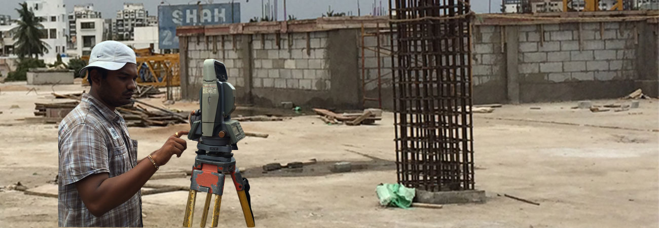
Surveyor's level, instrument used in surveying to measure the height of distant points in relation to a bench mark (a point for which the height above sea level is accurately known. The theodolite, or transit, is used to measure horizontal and vertical angles; it may be used also for leveling.
The primary reference at water-level recording stations is a set of stable bench-marks, installed in locations where their level should not change. Upon initial set-up of a station, the levels of the relevant parts of the installation are established and recorded by means of accurate leveling.
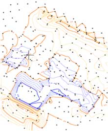
A contour line of a function of two variables is a curve along which the function has a constant value. In cartography, a contour line joins points of equal elevation (height) above a given level, such as mean sea level. A contour map is a map illustrated with contour lines, which thus shows valleys and hills, and the steepness of slopes. The contour interval of a contour map is the difference in elevation between successive contour lines.
More generally, a contour line for a function of two variables is a curve connecting points where the function has the same particular value. The gradient of the function is always perpendicular to the contour lines. When the lines are close together the magnitude of the gradient is large: the variation is steep. A level set is a generalization of a contour line for functions of any number of variables.
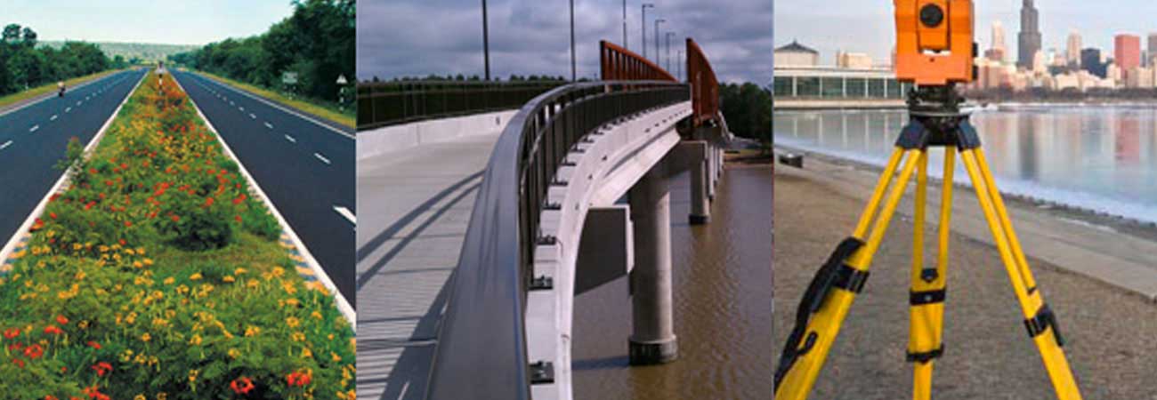
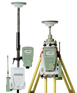
The GPS (Global Positioning System) is one of the viable systems which meets the requirements of the surveying fraternity all over the globe. It is a space-based all weather radio navigation system.
The numerous limitations of the terrestrial surveying like requirement of inter-visibility of survey stations, dependability on weather, difficulties in night observations, 3D position parameters etc could be overcome using GPS techniques. These advantages over the conventional techniques coupled with economy in time and cost, accuracy, speed and versatility in operation make GPS the most promising surveying tool of the future. Thus, a great technological revolution is taking place at the development of GPS as it can be used in any conceivable problem under the sky, where the exact position of any object or phenomena involved.


153, RJD Textile Park
Ichhapore Canal Road,
Ichhapore, Surat.
Pin No. :- 394510
Mobile : +91 97250 39730
e-mail : curve0920@gmail.com
Your railling fittings looks 6 times better than other.
Private DevelopersWhen one of their main person looks our railling, he said his staff to call us to congratulate for good work.
Surat, Gujarat, India.